
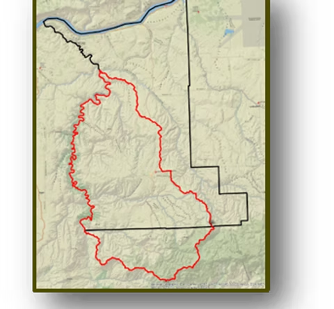
Regional Conservation Partnership Program (RCPP)
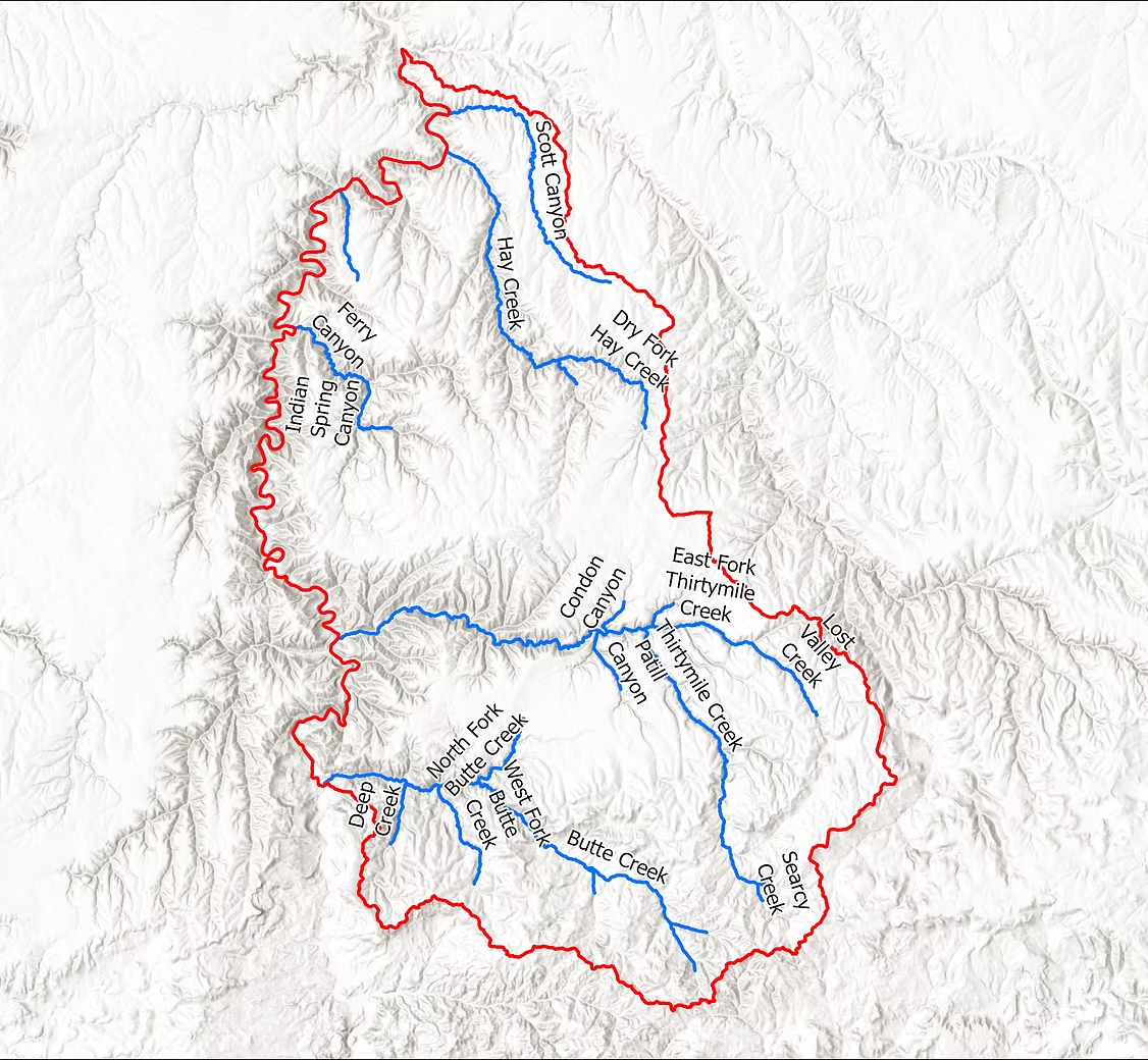
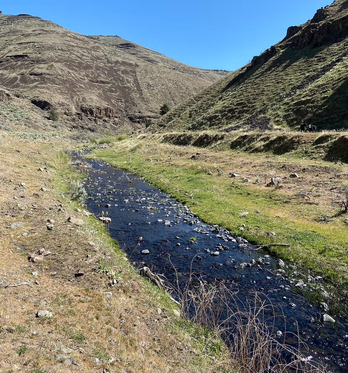
In 2020 the Gillam SWCD wrote a successful proposal for Regional Conservation Partnership Program. The goal of the Lower John Day Canyons Restoration Initiative (LJDCRI) is to protect and enhance over 40 miles of critical Mid-Columbia Steelhead habitat in the Lower John Day Basin. The project area is located in Gilliam and Wheeler Counties and is approximately 518,000 acres. This project seeks to use partner capital and NRCS RCPP funds to perform a ridge-top to ridge-top landscape-scale restoration effort.
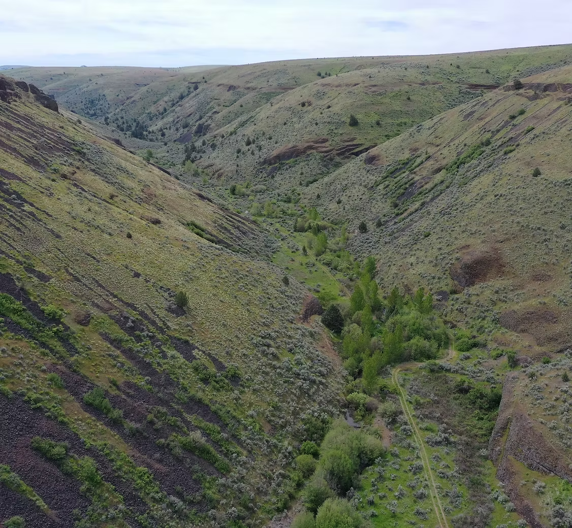
The objectives are to install use exclusion fencing, Beaver Dam Analog structures, and riparian plantings to improve native fish habitat. Additionally, upland objectives will also be pursued to reduce sediment inputs into the river. These include forest stand improvement, brush management, spring developments, expired CRP reseeding, sediment control basins, firebreaks, and a working lands conservation easement.
Additionally, the project area already has one large restoration project underway with the same goals and objectives as the LJDCRI. The Oregon Watershed Enhancement Board (OWEB) recently awarded the John Day Basin Partnership 12 million dollars over the next six years. We expect approximately 3.5 million dollars being allocated to the LJDCRI geography.
Project Partners
| Oregon Watershed Enhancement Board |
| Oregon Department of Fish and Wildlife |
| Oregon Department of Agriculture |
| the Confederated Tribes of the Warm Springs Reservation |
| Gilliam and Wheeler SWCDs |
| the Gilliam-East John Day Watershed Council |
| Mid-John Day Bridge Creek Watershed Council |