History & Land Use
History of Gilliam SWCD
The Gilliam SWCD was established in 1946 to direct agricultural producers to technical assistance resources, such as our partners the NRCS. Since 1946, NRCS and the Gilliam SWCD have partnered to plan and implement conservation practices on private lands in the basin. The District initiated the Gilliam-East John Day Watershed Council in 1992, and continues to provide sponsorship and fiscal oversight to that watershed council. Since its inception, the Gilliam SWCD has sought to provide support, education, technical support, and access to funding to the owners and managers of agricultural lands in Gilliam County. These efforts have always been based in the concept that improving the health of our streams, uplands, soils, and wildlife habitat lead to improved productivity for agricultural producers. The focus of the SWCD has shifted throughout the years as new issues have continued to move to the forefront. The District has always striven to remain flexible and forward thinking in our approach to conservation in Gilliam County. Working in all aspects of our local watersheds on issues including fish passage and habitat, upland habitat health, riparian health, grazing management, soil health, prevention of farmland erosion, and improvements in agricultural efficiencies. The core of the District’s success has been the trust built through thoughtful technical assistance and professional implementation of projects on the ground. With the guidance of our dedicated Board Members the District’s employees have worked to improve the natural resource health and agricultural production in our area.
Land Use
Carved out of neighboring Wasco County in 1885, Gilliam County lies in the Columbia River Plateau in north-central Oregon. The County claims approximately 1,206 square miles of land and water. AS of the 2010 Census the population totaled 1,871 people. Two major incorporated cities, Arlington in the north and Condon in the South, are joined by small community of Lonerock in the southeastern corner. Numerous ghost towns, former stage and train stops, and old homestead dot the landscape.
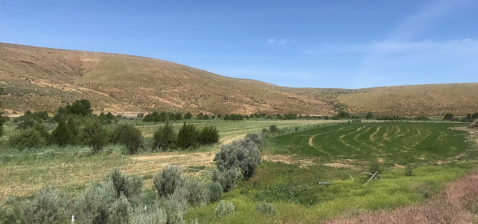
Gilliam County encompasses over 850,000 acres of which 692,540 acres (92%) are privately owned. Private acres include 234, 649 acres of dry cropland, 5,353 acres of irrigated cropland, and 397,872 acres of rangeland. The remaining 8% of lands within the County are primarily controlled by the Federal Bureau of Land Management with smaller parcels in state and tribal ownership.
The major agricultural uses of Gilliam County lands include dry-land wheat, irrigated hay specialty crops, and cattle production. Recent years have seen an increase in specialty crops being raised. These include canola, cherries, wine grapes, and corn for silage.
Major industries include the Columbia Ridge Landfill, operated by Waste Management, located approximately 10 miles south of Arlington. One of the largest landfills in the nation, the operation also boast on of the most state-of-the-art and environmentally friendly locations. In addition, Gilliam County is quickly emerging as one of the state's leaders in wind energy generation. In 2018 the county had seven wind facilities with a capacity of 2,000 Megawatts or about 1 Megawatt per resident (Oregon Department of Energy). Interest in solar energy is also growing. Gilliam County Boardman Solar Energy Facility which will connect to the electrical grid via 115 kilowatt line in Gilliam County.
Recreation is one of the fastest growing land uses for the area. Hunting, fishing, hiking, rafting, bird watching, biking, and photography are but a few of the opportunities afforded by the natural beauty of Gilliam County. Many landowners lease out or charge fees for access to their properties for recreational uses.